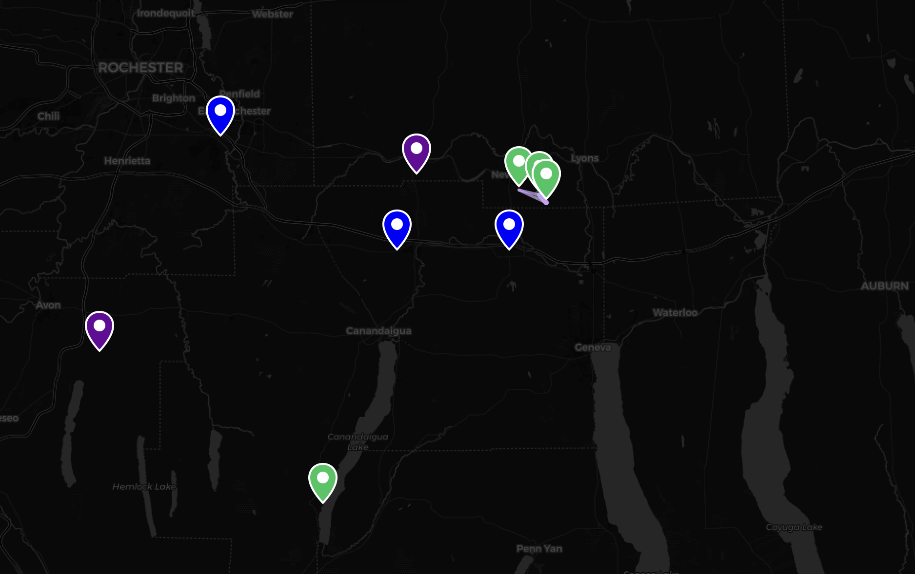
Network Coverage #
The map below shows the current nodes connected to the FLXMesh network. Most nodes are community members and are not owned or operated by FLXMesh. There may be additional nodes in your area that were not connected to our mesh at the time of the last update.
Locations are approximate.
Map Updates #
The map is currently not dynamic and is only updated occasionally. The map was last updated February 20th, 2026.